Can You Use Seasonal Modeling to Beat Flood Zone Restrictions?
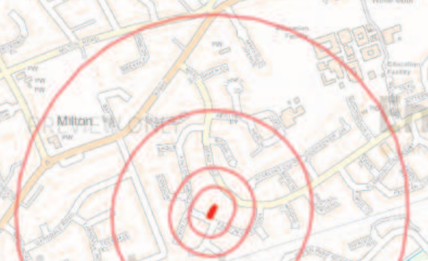
In UK planning, being situated in Flood Zone 3b (the functional floodplain) is often a “deal-breaker” for development. But if your project—such as a car park—is only intended for summer use, can you model the flood risk for just those months to prove the site is safer than the official maps suggest?

Glastonbury 2005 – Creative Commons 2.0 – sebFlyte
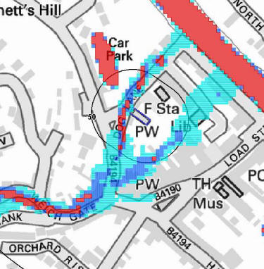
The Short Answer Yes, it is technically possible to model seasonal data, but it is a difficult and expensive path to take. While you can prove the risk of a river bursting its banks is lower in July than in January, the Environment Agency (EA) rarely changes a site’s official “Zone 3b” status based on the time of year.
The Seasonal Challenge Hydrologists can run models using only summer rainfall and river flow data. This has been done before, primarily for:
- Temporary summer festivals.
- Seasonal campsites.
- Short-term events.
However, for a permanent planning application, the EA usually insists on a “worst-case” year-round scenario. Their argument is often that climate change is making summer flash floods (from intense thunderstorms) more frequent and less predictable than traditional winter flooding.
Strategic Approaches If you are considering this for a project, you generally have two choices:
1. The “Working Solution” (Practical & Lower Cost) Instead of trying to change the flood zone through complex math, work with the existing rules. You could propose:
A “Seasonal Use” Condition: A legal agreement that the site is physically closed and gated during winter.
A Robust Evacuation Plan: Proving the car park can be cleared within two hours of a flood warning.
Water-Compatible Design: Using permeable grass-top surfaces rather than tarmac so the land can still function as a floodplain when needed.
2. The “Max Effort” Approach (Expensive & High Risk) You can hire a specialist consultant to build a bespoke hydraulic model to challenge the EA’s data.
The Cost: This can run into thousands of pounds.
The Hours: It involves months of technical negotiation.
The Risk: There is a high chance the EA will still reject the argument, citing the need for the land to remain available for water storage year-round to protect the wider community.
Final Thought Before investing in seasonal modeling, check your local council’s Strategic Flood Risk Assessment (SFRA). If the council has already designated the area as essential for flood storage, even a “dry” summer model may not be enough to get your plans approved.
Sources:
National Planning Policy Framework: Flood risk vulnerability [1]
Environment Agency: Flood risk assessment for planning [2]
[1] https://www.gov.uk/guidance/flood-risk-and-coastal-change#flood-risk-vulnerability-classification
[2] https://www.gov.uk/guidance/flood-risk-assessment-for-planning-applications